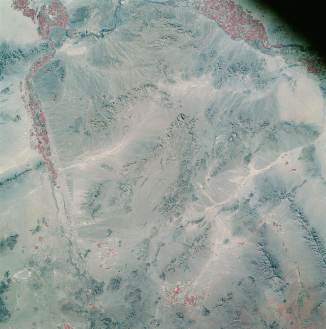
Apollo 9 Mission image - S0-65 Multispectral Photography - California
Ücretsiz
Açıklama
AS09-26A-3800A (12 March 1969) --- Color infrared photograph of southwestern Arizona, Yuma-Gila Desert-Gila River-Colorado River area, taken on March 12, 1969, by one of the four synchronized cameras of the Apollo 9 Earth Resources Survey SO65 Experiment. At 11:28 a.m. (EST) when this picture was made the Apollo 9 spacecraft was at an altitude of 128 nautical miles, and the sun elevation was 30 degrees above the horizon. The location of the point on Earth's surface at which the four-camera combination was aimed 33 degrees 19 minutes north latitude, and 113 degrees 45 minutes west longitude. The other three cameras used: (B) black and white film with a red filter; (C) black and white infrared — NASA JSC · 2009. ABD devlet eseri: kamu mali, ticari islerde de serbestce kullanilabilir.
Kaynak ve lisans
Bu eser kamu malı ya da açık lisanslı. Lisans koşulları kaynağın kendi sayfasında yazılı.
Nasıl açılır?
Ürünü indirmek ya da uygulama içinde okumak için Shopy 101 uygulamasını kullan. Kitaplığına eklediğin her şey tüm cihazlarında aynı kalır.