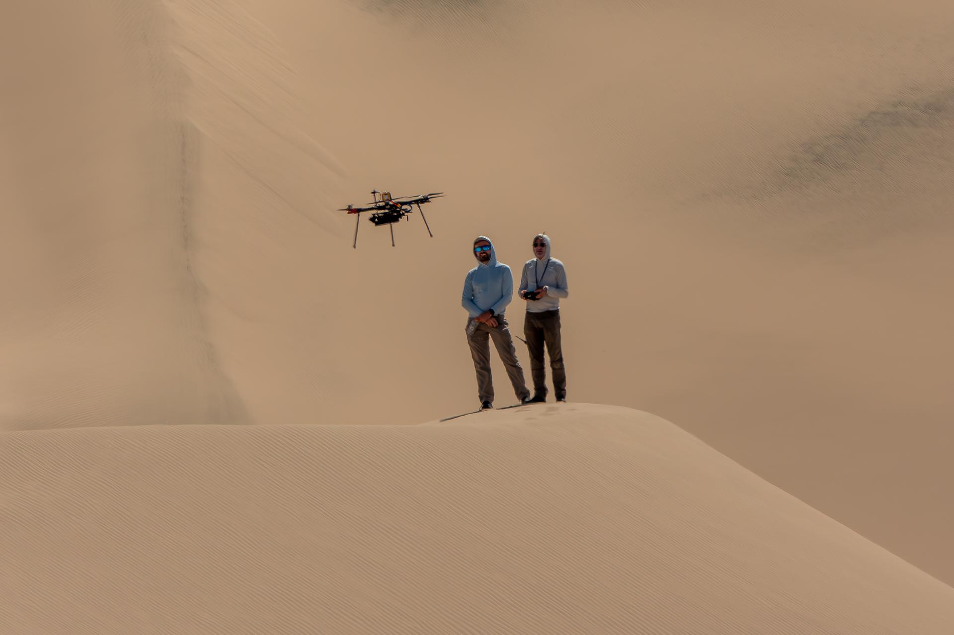
Researchers Test Mars Drone Software in Death Valley
Free
About
The work was among 25 projects funded by NASA’s Mars Exploration Program this past year to push the limits of future technologies. Sand dunes confused the navigation algorithm of the Ingenuity Mars helicopter during several of its last flights, including its 72nd and final flight on the Red Planet in January 2024. The navigation software in development would help future rotorcraft track the surface of especially bland, featureless terrain similar to the barren Dumont Dunes. Tests also included flights over a region in Death Valley called Mars Hill, which is littered with rubbly volcanic rocks and has been used by NASA’s Mars researchers since the 1970s, during preparations for the Viking lan — NASA JPL · 2025. ABD devlet eseri: kamu mali, ticari islerde de serbestce kullanilabilir.
Source and licence
This work is public domain or openly licensed. The licence terms are published by the source.
How do I open it?
Use the Shopy 101 app to download it or read it in place. Anything you add to your library stays the same on every device.