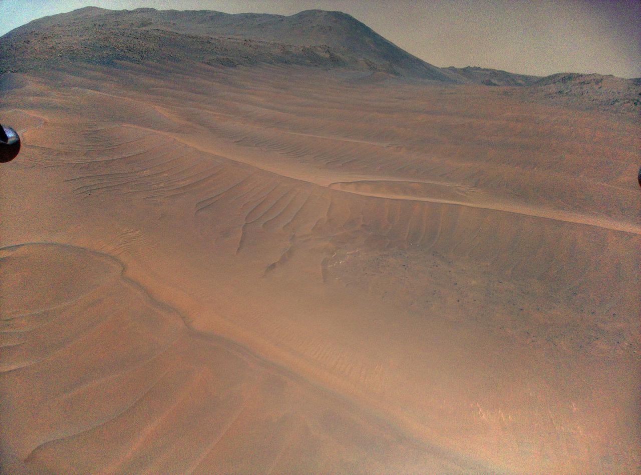
Ingenuity's View of Sand Ripples During Flight 70
Free
About
NASA's Ingenuity Mars Helicopter captured this view of sand ripples during its 70th flight, on Dec. 22, 2023. Taken from about 39 feet (12 meters) above the surface, the image shows the widest swath of sandy, relatively featureless terrain the helicopter had ever flown over. Ingenuity navigates by tracking the relative motion of surface features it sees beneath it, using its black-and-white navigation camera. An algorithm used by the navigation system incorporates the relative motion of features such as rocks, boulders, and ridges into the helicopter's calculation of position, velocity, and attitude. The more featureless the terrain is, the harder it is for Ingenuity to successfully navigate — NASA JPL · 2024. ABD devlet eseri: kamu mali, ticari islerde de serbestce kullanilabilir.
Source and licence
This work is public domain or openly licensed. The licence terms are published by the source.
How do I open it?
Use the Shopy 101 app to download it or read it in place. Anything you add to your library stays the same on every device.