Açıklama
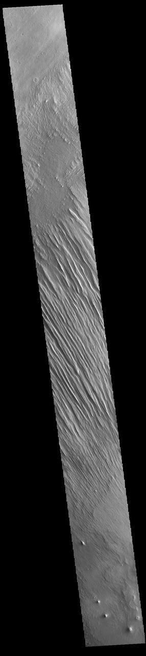
Today's VIS image shows some of the extensive wind etched terrain in Memnonia Sulci, located east of Apollinaris Mons. Memnonia Sulci is part of the Medusae Fossae Formation, a region of soft, easily eroded deposits that extends for nearly 5000km (3106 miles) along the equator of Mars between Olympus Mons and Apollinaris Mons. In this region, like many others throughout the Medusae Fossae Formation, the surface has been eroded by the wind into a series of linear ridges called yardangs. The ridges generally point in direction of the prevailing winds that carved them, so the predominate winds that created the yardangs in this image blew NW/SE. The easily eroded nature of the Medusae Fossae For — NASA JPL · 2023. ABD devlet eseri: kamu mali, ticari islerde de serbestce kullanilabilir.
Kaynak ve lisans
Bu eser kamu malı ya da açık lisanslı. Lisans koşulları kaynağın kendi sayfasında yazılı.
Nasıl açılır?
Ürünü indirmek ya da uygulama içinde okumak için Shopy 101 uygulamasını kullan. Kitaplığına eklediğin her şey tüm cihazlarında aynı kalır.