Açıklama
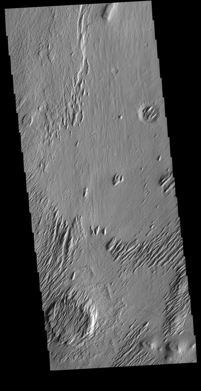
Today's VIS image is located on Lucus Planum. The surface in this image has been eroded by the wind to form features called yardangs. Yardangs form in a poorly cemented material where the wind cuts linear valleys, removing some of the material and leaving parallel ridges behind. The direction of the ridge/valley is aligned with the wind direction. The dominant wind direction in this region is along a northeast/southwest trend; however, other wind directions can occur within a localized region. There is a circular feature in the lower left side of the image. This is likely the remains of a crater. Meteor impacts melt the surface and subsurface, creating a harder material then the surrounding — NASA JPL · 2020. ABD devlet eseri: kamu mali, ticari islerde de serbestce kullanilabilir.
Kaynak ve lisans
Bu eser kamu malı ya da açık lisanslı. Lisans koşulları kaynağın kendi sayfasında yazılı.
Nasıl açılır?
Ürünü indirmek ya da uygulama içinde okumak için Shopy 101 uygulamasını kullan. Kitaplığına eklediğin her şey tüm cihazlarında aynı kalır.