Açıklama
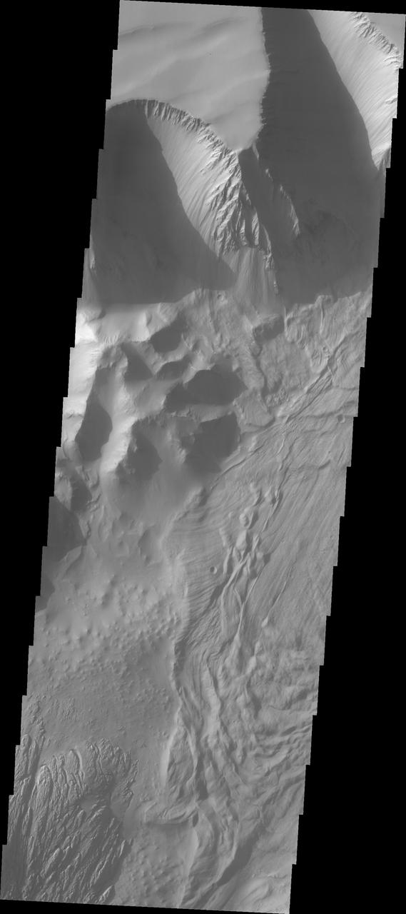
This VIS image shows part of the central region of Tithonium Chasma. The steep wall of the canyon is visible at the top of the image. The top of the canyon walls are layered, mostly likely by numerous volcanic flows. This material is more resistant and forms the ridges extending down the canyon walls. A large landslide deposit covers the right side of the image. An eroded mound on the floor of the canyon exists at the bottom left of the image. The initial formation of the mound was possibly created of air fall of dust, sand, and volcanic materials and water lain materials. Tithonium Chasma is at the western end of Valles Marineris. Valles Marineris is over 4000 kilometers long, wider than th — NASA JPL · 2018. ABD devlet eseri: kamu mali, ticari islerde de serbestce kullanilabilir.
Kaynak ve lisans
Bu eser kamu malı ya da açık lisanslı. Lisans koşulları kaynağın kendi sayfasında yazılı.
Nasıl açılır?
Ürünü indirmek ya da uygulama içinde okumak için Shopy 101 uygulamasını kullan. Kitaplığına eklediğin her şey tüm cihazlarında aynı kalır.