About
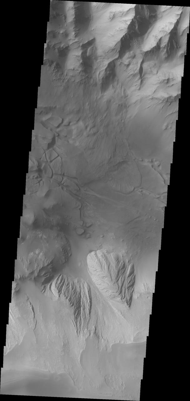
This image shows part of eastern Candor Chasma. At the top of the image is the steep cliff between the upper surface elevation and the depths of Candor Chasma. The bottom of the image is the cliff side of a large mesa. The two cliff faces have very different appearances. The cliff face between the top of the canyon and the bottom is likely layers of volcanic flows from the nearby Tharsis volcanoes. The mesa, however, is probably layers of sediments deposited in the canyon from wind, water and gravity driven erosion and deposition. These layered materials are much more easily eroded than the solid rock of the canyon sides. There is a landslide that originate from the northern cliff face and r — NASA JPL · 2018. ABD devlet eseri: kamu mali, ticari islerde de serbestce kullanilabilir.
Source and licence
This work is public domain or openly licensed. The licence terms are published by the source.
How do I open it?
Use the Shopy 101 app to download it or read it in place. Anything you add to your library stays the same on every device.