Multiple Instruments Used for Mars Carbon Estimate
Free
About
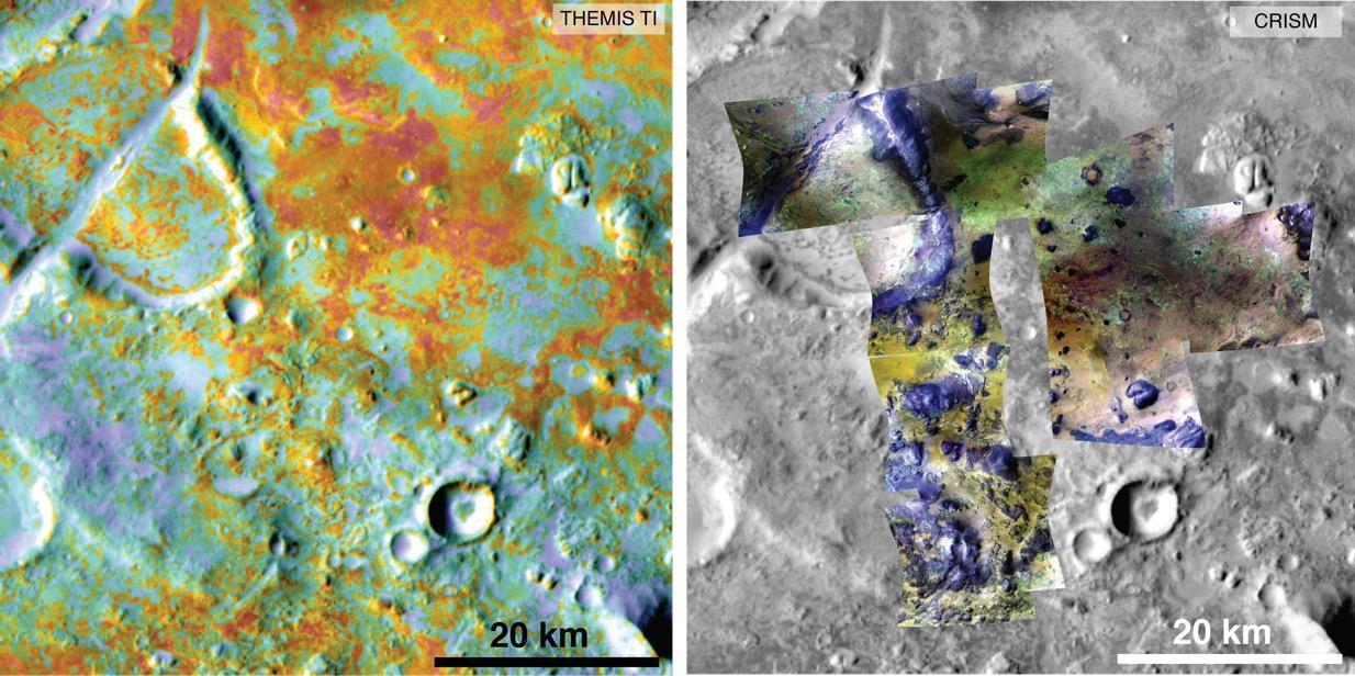
Researchers estimating the amount of carbon held in the ground at the largest known carbonate-containing deposit on Mars utilized data from three different NASA Mars orbiters. Each image in this pair covers the same area about 36 miles (58 kilometers) wide in the Nili Fossae plains region of Mars' northern hemisphere. The tally of carbon content in the rocks of this region is a key piece in solving a puzzle of how the Martian atmosphere has changed over time. Carbon dioxide from the atmosphere on early Mars reacted with surface rocks to form carbonate, thinning the atmosphere. The image on the left presents data from the Thermal Emission Imaging System (THEMIS) instrument on NASA's Mars Odys — NASA JPL · 2015. ABD devlet eseri: kamu mali, ticari islerde de serbestce kullanilabilir.
Source and licence
This work is public domain or openly licensed. The licence terms are published by the source.
How do I open it?
Use the Shopy 101 app to download it or read it in place. Anything you add to your library stays the same on every device.