About
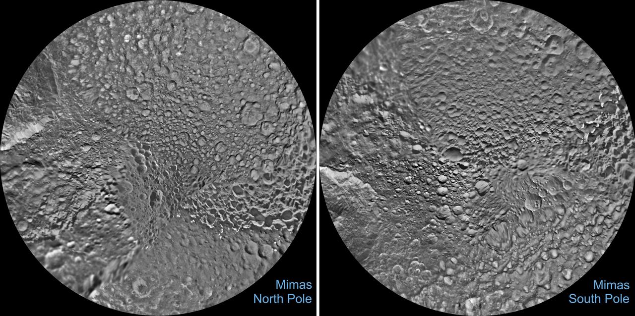
The northern and southern hemispheres of Saturn's moon Mimas are seen in these polar stereographic maps, mosaicked from the best-available Cassini images. Each map is centered on one of the poles, and surface coverage extends to the equator. Grid lines show latitude and longitude in 30-degree increments. Unlabeled versions of these maps are also provided. The scale in the full-size versions of these maps is 710 feet (216 meters) per pixel. The resolution of the map is 16 pixels per degree. The mean radius of Mimas used for projection of these maps is 123.2 miles (198.2 kilometers). The mosaics contain new data from two close flybys of Mimas in Nov. 2016 and Feb. 2017. https://photojournal.jp — NASA JPL · 2017. ABD devlet eseri: kamu mali, ticari islerde de serbestce kullanilabilir.
Source and licence
This work is public domain or openly licensed. The licence terms are published by the source.
How do I open it?
Use the Shopy 101 app to download it or read it in place. Anything you add to your library stays the same on every device.