Açıklama
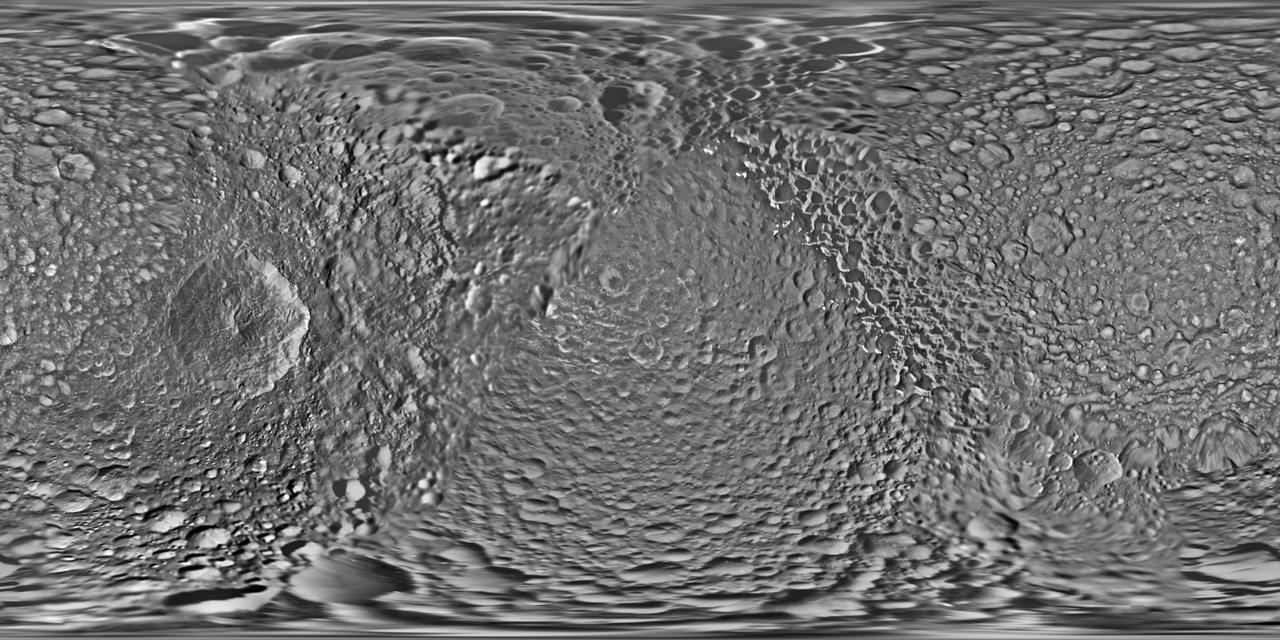
This global map of Saturn's moon Mimas was created using images taken during Cassini spacecraft flybys. The moon's large, distinguishing crater, Herschel, is seen on the map at left. The map is an equidistant (simple cylindrical) projection and has a scale of 710 feet (216 meters) per pixel at the equator. The mean radius of Mimas used for projection of this map is 123.2 miles (198.2 kilometers). The resolution of the map is 16 pixels per degree. The update includes new images for almost half of the moon's surface, with new images from two close flybys, in Nov. 2016 and Feb. 2017. The moon's western hemisphere, south pole and parts of the eastern hemisphere received updates in this version. — NASA JPL · 2017. ABD devlet eseri: kamu mali, ticari islerde de serbestce kullanilabilir.
Kaynak ve lisans
Bu eser kamu malı ya da açık lisanslı. Lisans koşulları kaynağın kendi sayfasında yazılı.
Nasıl açılır?
Ürünü indirmek ya da uygulama içinde okumak için Shopy 101 uygulamasını kullan. Kitaplığına eklediğin her şey tüm cihazlarında aynı kalır.