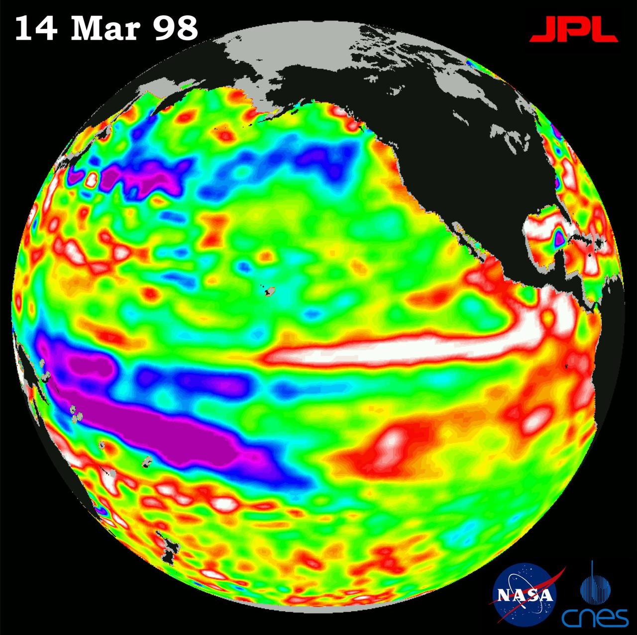
TOPEX/El Niño Watch - Satellite shows El Niño-related Sea Surface Height, Mar, 14, 1998
Free
About
This image of the Pacific Ocean was produced using sea surface height measurements taken by NASA U.S.-French TOPEX/Poseidon satellite. — NASA JPL · 1998. ABD devlet eseri: kamu mali, ticari islerde de serbestce kullanilabilir.
Source and licence
This work is public domain or openly licensed. The licence terms are published by the source.
How do I open it?
Use the Shopy 101 app to download it or read it in place. Anything you add to your library stays the same on every device.